- ± 270 m
- Quiet
El Mojón
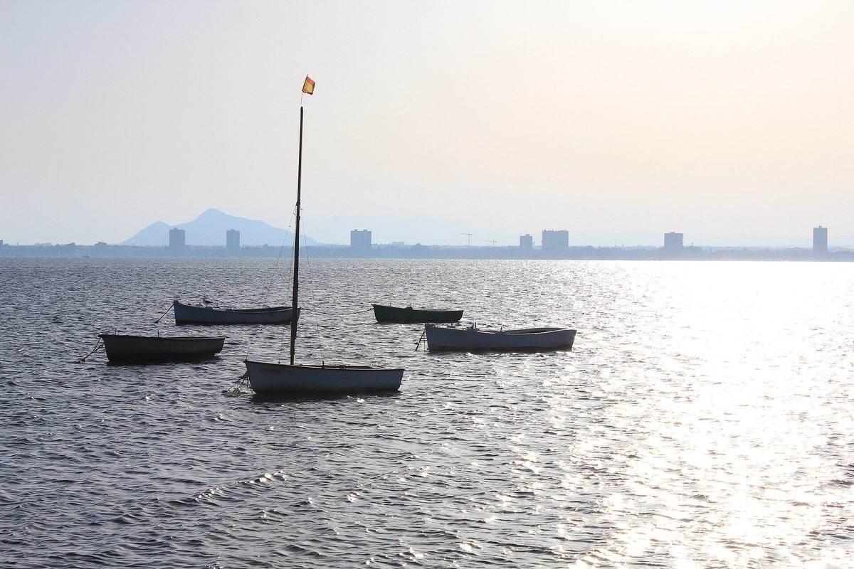
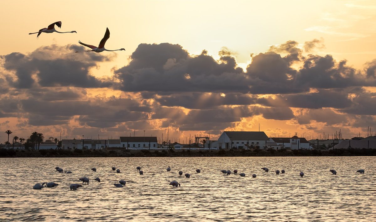
The southernmost beach of the municipality, on the border with Murcia. Small and quiet, with a promenade and fishing boats. Across the border begins the salt-pan nature park.
Open in Google Maps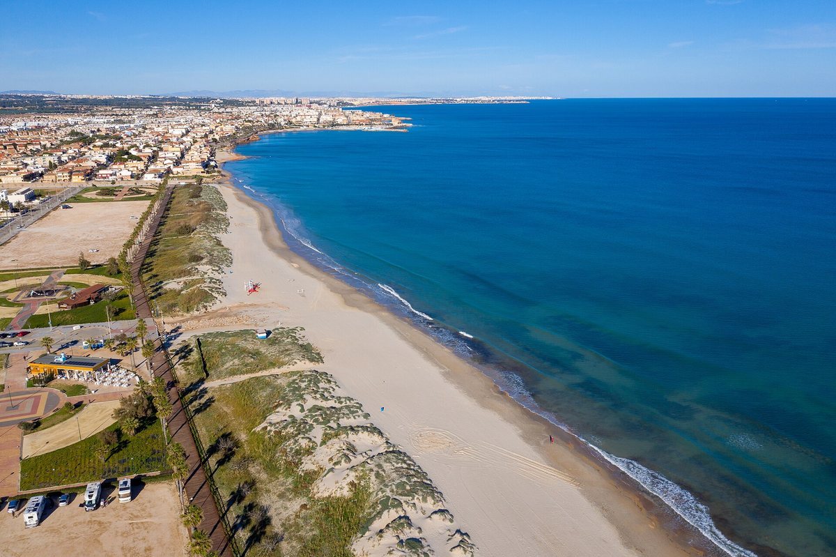
The area
Around five kilometres of coast with long sandy beaches, small coves and six Blue Flag beaches. An eight to ten-minute drive or a fifteen-minute bike ride from the penthouse.
The coast of Pilar de la Horadada runs from El Mojón, on the border with Murcia, to Vistamar near Mil Palmeras. The nearest stretch is Torre de la Horadada, with the long, dune-backed Las Higuericas beach, the calm beaches by the harbour and the coves of Rocamar.
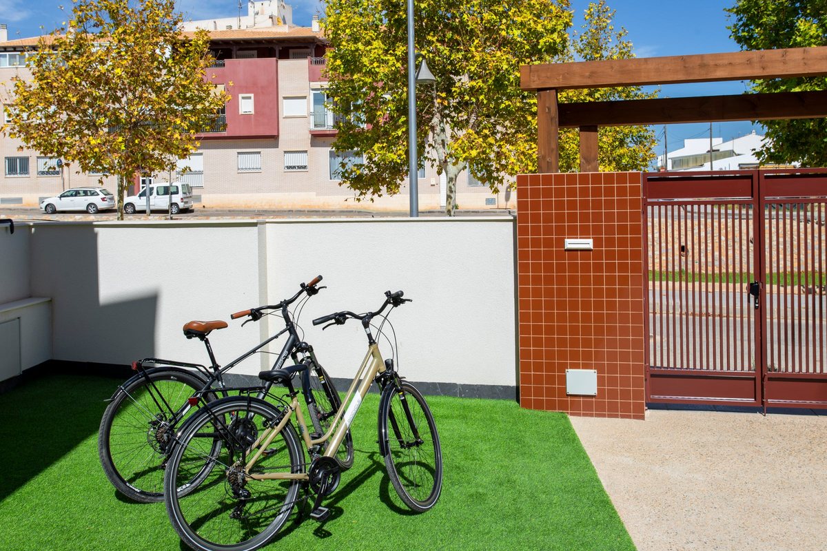
By car you reach the sea in eight to ten minutes. Prefer to cycle? Take the free bikes and follow the Senda del Pilar al Mar from the town, a three-kilometre path along the rambla to Las Higuericas.
Beach by beach
From El Mojón on the Murcia border to Vistamar near Mil Palmeras.
The southernmost beach of the municipality, on the border with Murcia. Small and quiet, with a promenade and fishing boats. Across the border begins the salt-pan nature park.
Open in Google MapsPilar’s longest beach: almost a kilometre of pale sand backed by dunes. A wooden boardwalk with palm trees, play areas and a large car park. Accessible, with an amphibious wheelchair.
Open in Google MapsA lively village beach with fine sand and clear water. On a rocky stretch children catch little crabs. The Paseo del Sardinero promenade starts here.
Open in Google Maps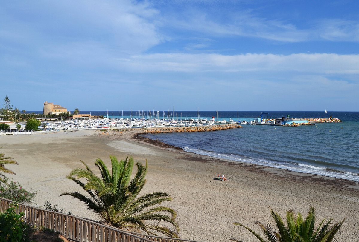
The beach next to the marina, sheltered and usually very calm: lovely with small children. Accessible via a ramp at the harbour, with amphibious wheelchairs.
Open in Google Maps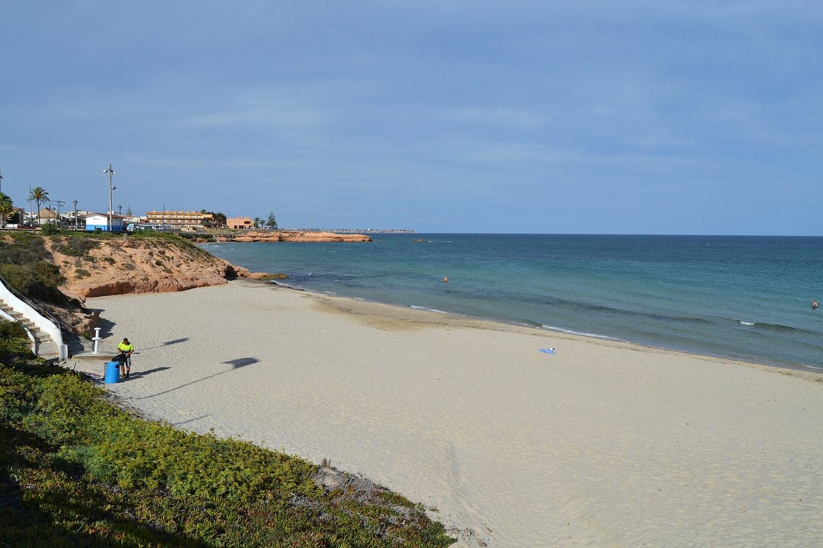
A small beach of golden sand below the 16th-century watchtower. The town calls it a magical place to watch the sunrise. Accessible.
Open in Google MapsA large cove with fine sand and a volleyball net that stays up all year. The Puntal del Gato viewpoint lies between Jesuitas and the first Rocamar cove.
Open in Google Maps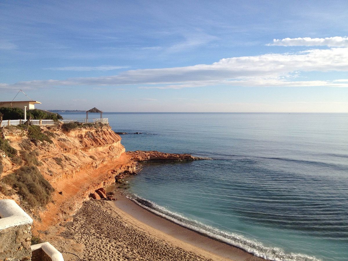
A string of small coves between ochre rocks, for those who like peace and quiet. Clear water and few facilities.
Open in Google MapsA rocky cove without facilities but with excellent water. Popular with snorkellers and divers.
Open in Google MapsWhere the Río Seco meets the sea. From the promenade you can see the 1st–2nd-century Roman stone quarry.
Open in Google Maps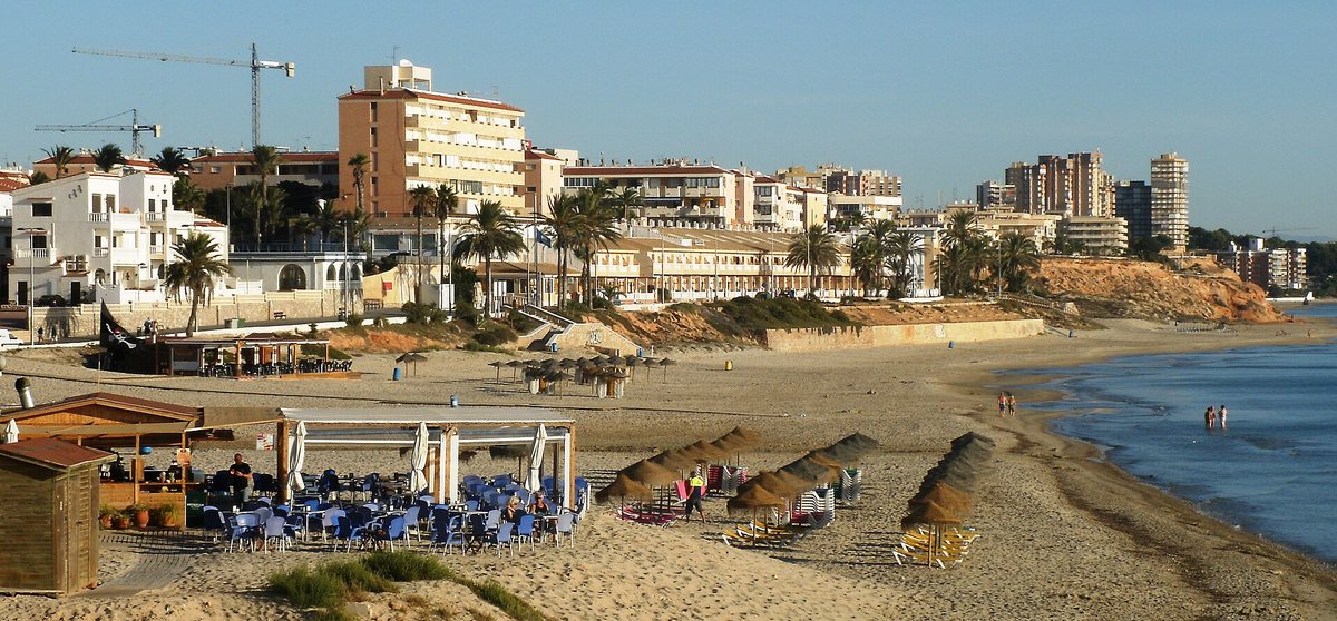
A lively beach with beach bars, a children’s area and boat hire, plus a street full of restaurants. On summer evenings there is a craft market on the promenade.
Open in Google MapsThe northernmost beach, linked to Mil Palmeras by the promenade. Along the way you pass striking rock formations.
Open in Google Maps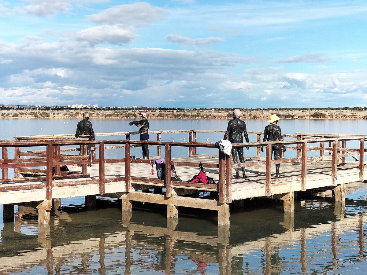
Next door
Just across the border, in San Pedro del Pinatar, are the La Llana beaches: long stretches of sand between the dunes and the salt pans, of which Las Salinas and Torre Derribada fly the Blue Flag. They stay quiet because parking is limited.
On the inner side of the spit lies the Mar Menor, with shallow, warm water at Lo Pagán. Read more about the Mar Menor and Las Salinas.
Tips

After a day out, the roof terrace is waiting. See when the penthouse is available.